Saint-Projet (Tarn-et-Garonne)
Commune de Caylus
IGN SERIE BLEUE (1:25.000) 2139 E
Le dolmen du Pech de la Crabe is 1.7 km W of Saint-Projet
and is one of the two dolmens marked on the map (the other one disappeared
a long time ago),
just inside the (unfenced) Military Zone of the Camp de Caylus.
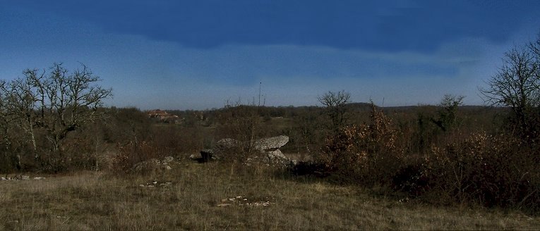
Some of the cairn survives.
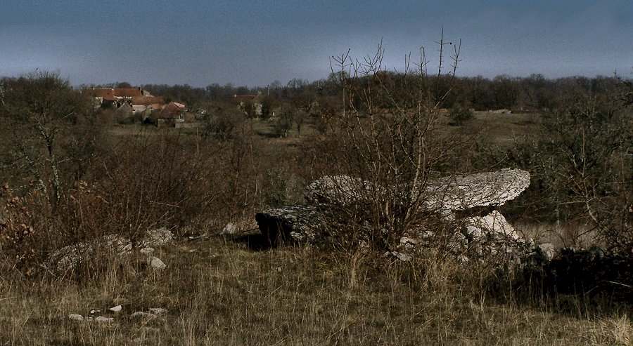
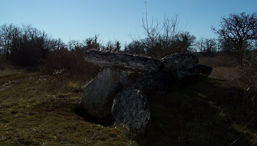
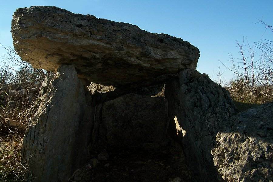
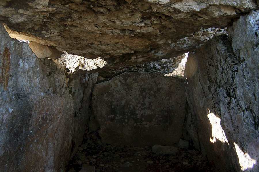
The chocking-stone on the left may not be original.
The
Christianised menhir of Saillac
is just over 3 kms NNW.
About 7 kms N (a half-hour's drive North of Caylus) are the dolmens with
gariotes built
on top of them at Beauregard
>
About 15 kms West of Caylus, along the D.926 in the direction of Caussade
and Montauban,
are several tombs at Septfonds
>
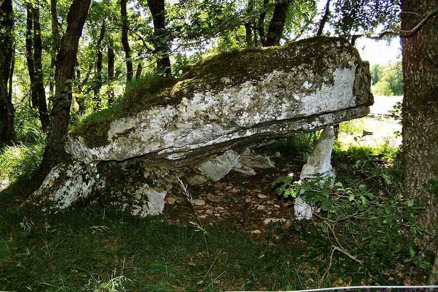
17 km WNW of Saint-Projet, and
3 km SE of Lalbenque (not marked on
Sheet 2139 O)
is the semi-collapsed and delicately-poised Dolmen de Pélissié,
about 100 metres up a track E of the D.4
The capstone is 4.5 metres long.
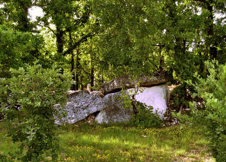
Just N of Labenque, close to the road but behind a garden hedge (to the
right in the photo)
is a larger and more sturdy tomb known as the
dolmen de la Borie-Rouge.
South
of Caylus are the many
Dolmens
of Saint-Antonin-Noble-Val >
and the drearily-christianised dolmen de Saillac >
Another (less depressingly) Christianised tomb is about half an hour's drive to the East at L'Espinassière >
![]()